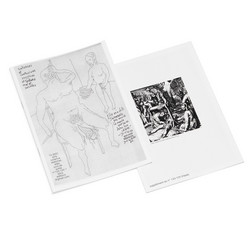
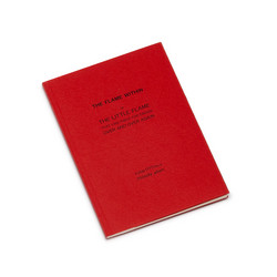
I first saw these printed diagrams and drawings over thirty years ago, and the particular care and certainty they convey has remained with me since. Geoffrey Hutchings published just a handful of books, all addressing the search for geographical and topographical truths, and for the ways of recording and depicting these truths precisely and economically by the handwritten word and line. In addition to his contribution to the development of the teaching of field studies in Britain in the late 1940s, with its emphasis on the direct observation and interpretation of landscape, he achieved a masterly ability to ‘read’ and transcribe a place in a graphic composition—be it a sketch- map or a plan, a tabular profile or a section, or an annotated panoramic drawing. In all of these compositions he integrated line and text in a perfect balance of brevity and detail.
We do require your explicit consent to save your cart and browsing history between visits. Read about cookies we use here.
Related products
More from Uniform Books
Become a member
Join us by becoming a Soundohm member. Members receive a 10% discount and Free Shipping Worldwide, periodic special promotions and free items.
Apply hereSoundohm is an international online mailorder that maintains a large inventory of several thousands of titles, specialized in Electronic/Avantgarde music and Sound Art. In our easy-to-navigate website it is possible to find the latest editions and the reissues, highly collectible original items, and in addition rare, out-of-print and sometime impossible-to-find artists’ records, multiples and limited gallery editions. The website is designed to offer cross references and additional information on each title, as well as sound clips to appreciate the music before buying it.
Soundohm is a trademark of Nube S.r.l.








![Noisemakers[s]](https://cdn.soundohm.com/data/products/2024-03/NoisemakerS_Book_01-jpg.jpg.250.jpg)
